POR (Orienteering) Part 1Written by W. Bastian published in the February 2022 edition of The Grapevine
At TREC Ireland and West Cork TREC, we use the Ordnance Survey Maps of Ireland, Discovery Series. The OSI maps have a scale of 1:50,000 (1cm on the map is 50,000cm or 500m in nature), but are normally blown up to a scale of 1:25,000 (1cm on the map is 25,000cm or 250m in nature). West Cork is covered by the OSI maps Nr.84 – Nr.87, available in your local bookstore or tourism information centre. On the bottom of the map is the “Legend”, which explains in detail what you see on the map: roads, rivers, woodlands, houses, and other landmarks, which help you identify your position. Make yourself familiar with the map. Take it to a place in your area and find your position and your surroundings on the map. Attend a map reading training. West Cork TREC offers training days – for more information on these training days check our Facebook or Instagram pages or our calendar. Basic Rule 1: The top of the map is geographically North, the bottom is South, the right side is East and the left side is West. Obviously, it depends in which direction you hold the map in front of you, that the North on the map (⇒top of the map) is identical with the Magnetic North of in nature. You will need a compass to align the map with the Magnetic North. The North on the map is called the “Grid North”. You can see parallel vertical and horizontal lines on the map. These are the “Gridlines”, which run vertically from North to South and horizontally from East to West. These Gridlines are in numerical order and are important for the “Grid References”, which you will need when moving to a higher level in TREC. Basic Rule 2: The gridlines make squares, where they intersect each other. Each square is 1km long and 1km wide, no matter what the scale of the map is. This helps you to estimate distances on your map. To be continued with POR (Orienteering) Part 2
0 Comments
Competition 6th February '22 - PTV in BantryThe morning of Sunday 6th Feb was cold and windy with spells of drizzle and the occasional heavier shower. We had 25 riders take part in this our first event of 2022, and the third leg of our PTV league.
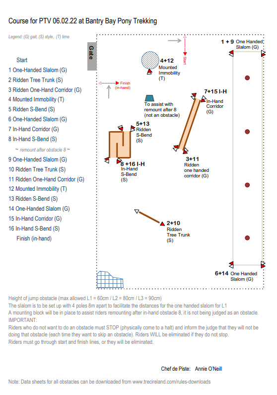
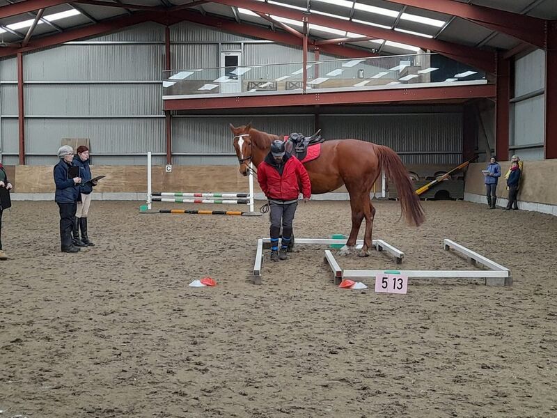
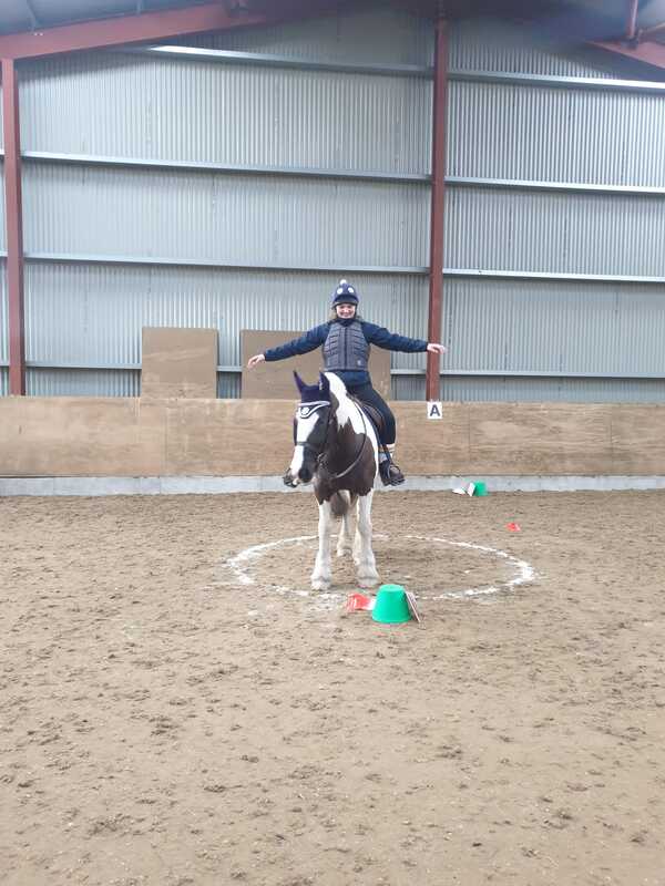
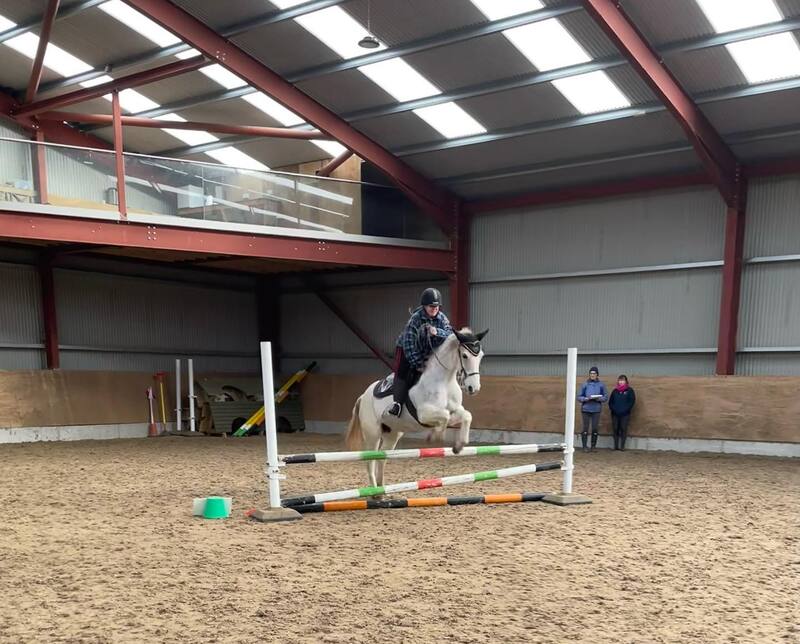
On arrival, people began setting up the course which was designed by Chef de Piste Annie. With Elaine as our Technical Delegate, a decision was made to reduce the number of poles from 4 to 3 for the one-handed slalom. There were 8 obstacles 1-8 repeated for obstacles 9-16, with the rider required to remount between 8 and 9 although this would not be judged as an obstacle. Megan was nominated as Assistant Technical Delegate since Elaine was riding. Level 3 riders were first into the arena, followed by the Level 2 riders. During the break that followed, the Level 1 riders that had been judging went to get their horses ready and warmed up, and Annie held a second course walk for the remaining Level 1 riders. Elaine and Jill went to work on processing the score sheets during the Level 1 round. The scoring was finished while the course was being dismantled, and rosettes were handed out. We were delighted to welcome 10 newcomers to their first ever TREC competition, most of whom had never seen TREC before. Many thanks to Georgia and Bantry Bay Pony Trekking for the use of their facilities, to all the riders, judges and helpers, to Elaine as the Technical Delegate, and to Annie for designing the course. |
News pageBrowse our news or click here to view our Results page Categories
All
Archives
April 2024
|
Copyright © West Cork TREC 2021


 RSS Feed